


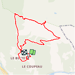

9 km | 14.3 km-effort


User


FREE GPS app for hiking
 SityTrail
IGN / Geographical institutes
SityTrail World
The world is yours!
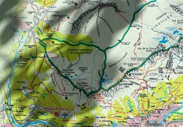
Trail Walking of 10.6 km to be discovered at Auvergne-Rhône-Alpes, Upper Savoy, Les Houches. This trail is proposed by GerardBouche.
Très belle rando d'altitude depuis le" Bettey " par " Pierre Blanche " jusqu'à l'Aiguillette des Houches. Descente à la lueur des frontales par les Chalets de Chailloux.
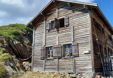
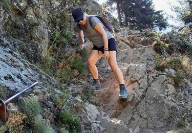
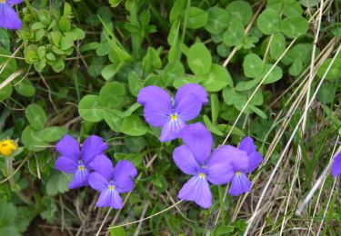
 - Photo 1")
 - Photo 2")
 - Photo 3")
 - Photo 4")
 - Photo 5")
 - Photo 6")
 - Photo 7")

Walking

Walking

Walking

Walking

Walking
Walking
Walking
Walking
Walking