


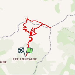


8.5 km | 15.9 km-effort

User GUIDE


FREE GPS app for hiking
 SityTrail
IGN / Geographical institutes
SityTrail World
The world is yours!
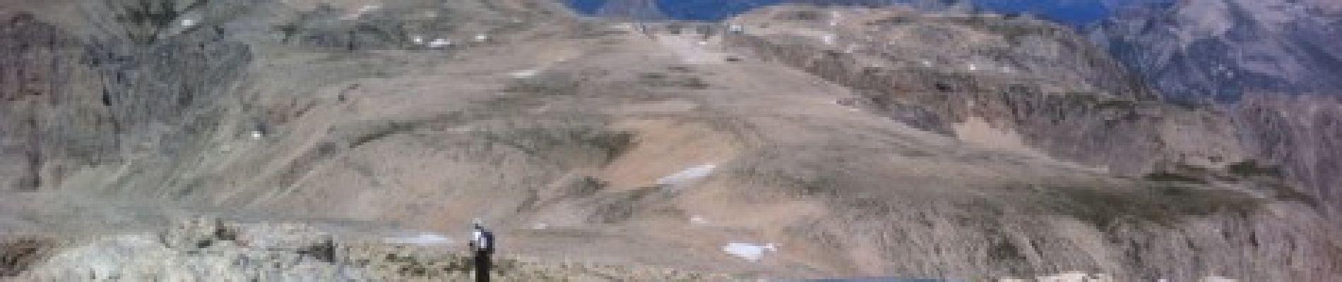
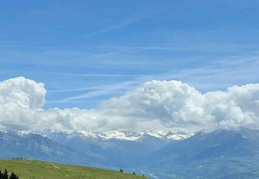
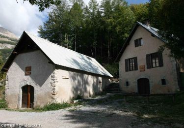
Trail Walking of 22 km to be discovered at Provence-Alpes-Côte d'Azur, Hautes-Alpes, Montmaur. This trail is proposed by R@ph.


Walking
Mountain bike

Mountain bike

Mountain bike

Mountain bike

Mountain bike
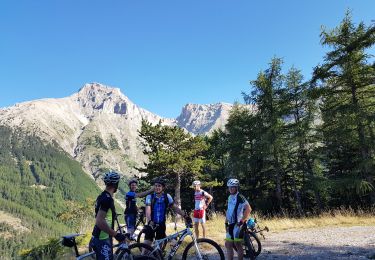
Mountain bike
Walking
Walking