Trail Walking Condom - Mon Compostelle onzième étape - Photo

Mon Compostelle onzième étape

© OpenStreetMap contributors
Length
Length
47 km
Max alt
Max alt
180 m
Uphill gradient
Uphill gradient
745 m
Km-Effort
Km-Effort  
57 km
Min alt
Min alt
78 m
Downhill gradient
Downhill gradient
687 m
Boucle
Boucle
No
Creation date :
2017-01-17 00:00:00.0
Updated on :
2017-01-17 00:00:00.0

(0 Reviews)

Walking
Walking
10h10
Difficulty : Medium

Scan this QR Code to open this trail in the SityTrail application

FREE GPS app for hiking

Logo SityTrail SityTrail

IGN / Geographical institutes

Download SityTrail from the App Store Download SityTrail from Google Play

Logo SityTrail SityTrail World

The world is yours!

Download SityTrail from the App Store Download SityTrail from Google Play Download SityTrail on Huawei AppGallery

About

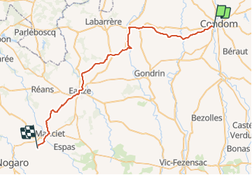
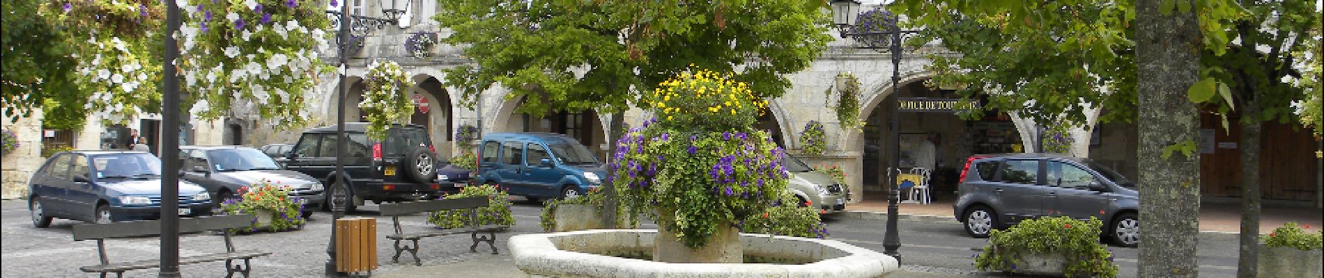
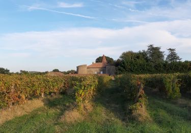
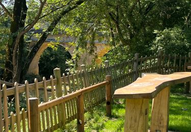
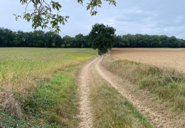
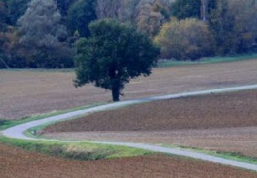
Trail Walking of 47 km to be discovered at Occitania, Gers, Condom. This trail is proposed by Ardeiserois.

Description

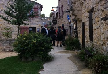
Onzième étape samedi 3 octobre 2009 : Condom /Le Haguet
Départ : 7h40,
Arrivée 17h30

Elevation profile

Photos

Points of interest

Point of interest Condom - Condom gite de Gabarre - Photo
Ardeiserois
Point of interest Larressingle - Pont d'Artigues - Photo
Ardeiserois
LARRESSINGLE 
Point of interest Montréal - Montréal - Photo
Ardeiserois
MONTRÉAL 
Point of interest Eauze - Eauze  - Photo
Ardeiserois
EAUZE 
Point of interest Cravencères - Le Haguet - Photo
Ardeiserois
CRAVENCÈRES 

Positioning

Country:
France
Region :
Occitania
Department/Province :
Gers
Municipality :
Condom
Location:
Unknown
Start:(UTM)
288497 ; 4869828 (31T) N.

Trails nearby

Trail Walking Condom - Graziac- Abbaye de Flaran -Valence sur Baise- Graziac - Photo
Walking
Forsans

Walking

Easy
Condom, Occitania, Gers, France
8.8 km | 9.9 km-effort
2h 10min
Yes
Trail Walking Condom - CONDOM - Photo
Walking
jpnice06

Walking

Easy
Condom, Occitania, Gers, France
6.3 km | 7.9 km-effort
1h 54min
Yes
Trail Walking Condom - Rando santé - Photo
Walking
papounet32

Walking

Very difficult
Condom, Occitania, Gers, France
144 km | 173 km-effort
17h 3min
No
Trail Walking Condom - GR 65 Condom > Montréal - Photo
Walking
choubaka77

Walking

Easy
Condom, Occitania, Gers, France
18.7 km | 23 km-effort
5h 37min
No
Trail Walking Condom - 32-03-Au Cœur de Gascogne Auch-26km-102-5571- - Photo
Walking
rvs147

Walking

Very easy
Condom, Occitania, Gers, France
26 km | 34 km-effort
6min
No
Trail Walking Condom - Autour de Condom - Photo
Walking
tracegps

Walking

Medium
Condom, Occitania, Gers, France
6.2 km | 7.8 km-effort
2h 0min
Yes
Trail Walking Condom - De Condom à Larressingle - Photo
Walking
tracegps

Walking

Difficult
Condom, Occitania, Gers, France
16.2 km | 19.4 km-effort
3h 30min
Yes
Trail Walking Condom - 1 Condom - Photo
Walking
GUIDE
thonyc

Walking

Difficult
Condom, Occitania, Gers, France
31 km | 37 km-effort
8h 57min
No
Trail Hybrid bike Condom - Voie verte de l'Armagnac Condom Eauze - Photo
Hybrid bike
Forsans

Hybrid bike

Easy
Condom, Occitania, Gers, France
33 km | 38 km-effort
2h 30min
No


Close
My subscriptions