Trail Walking Lichos - Mon Compostelle Quinzième étape - Photo

Mon Compostelle Quinzième étape

© OpenStreetMap contributors
Length
Length
52 km
Max alt
Max alt
290 m
Uphill gradient
Uphill gradient
1195 m
Km-Effort
Km-Effort  
67 km
Min alt
Min alt
64 m
Downhill gradient
Downhill gradient
1140 m
Boucle
Boucle
No
Creation date :
2017-01-20 00:00:00.0
Updated on :
2017-01-20 00:00:00.0

(0 Reviews)

Walking
Walking
10h25
Difficulty : Very difficult

Scan this QR Code to open this trail in the SityTrail application

FREE GPS app for hiking

Logo SityTrail SityTrail

IGN / Geographical institutes

Download SityTrail from the App Store Download SityTrail from Google Play

Logo SityTrail SityTrail Plus

The world is yours!

Download SityTrail from the App Store Download SityTrail from Google Play Download SityTrail on Huawei AppGallery

About

Trail Walking of 52 km to be discovered at New Aquitaine, Pyrénées-Atlantiques, Lichos. This trail is proposed by Ardeiserois.

Description

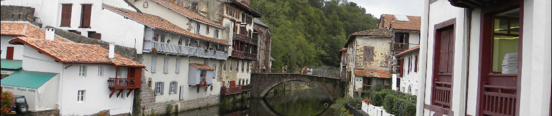
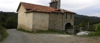
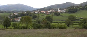
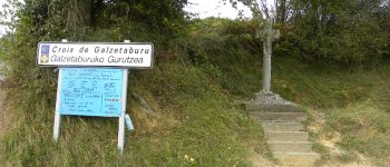
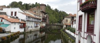
Quinzième étape,mercredi 7 octobre 2009, Lichos /Uhart-Cize
Départ :7h50,
Arrivée 18h15

Elevation profile

Photos

Points of interest

Point of interest Ostabat-Asme - Harembeltz - Photo
Ardeiserois
OSTABAT-ASME 
Point of interest Ostabat-Asme - Ostabat - Photo
Ardeiserois
OSTABAT-ASME 
Point of interest Gamarthe - croix de Galzetaburu - Photo
Ardeiserois
Point of interest Saint-Jean-Pied-de-Port - Saint Jean pied de port - Photo
Ardeiserois
SAINT-JEAN-PIED-DE-PORT 

Positioning

Country:
France
Region :
New Aquitaine
Department/Province :
Pyrénées-Atlantiques
Municipality :
Lichos
Location:
Unknown
Start:(UTM)
672037 ; 4796909 (30T) N.


Close
My subscriptions