


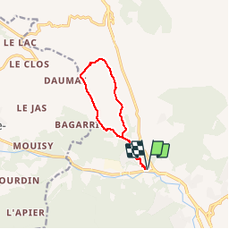

8.1 km | 10.6 km-effort


User


FREE GPS app for hiking
 SityTrail
IGN / Geographical institutes
SityTrail World
The world is yours!
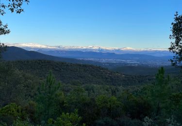
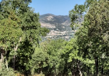
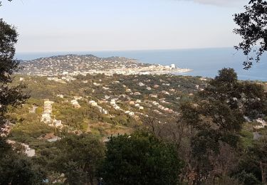
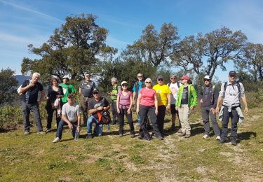
Trail Walking of 9.7 km to be discovered at Provence-Alpes-Côte d'Azur, Var, Sainte-Maxime. This trail is proposed by bebenoit83.
Walking
Walking
Walking
Walking
Walking
Walking
Walking
Walking
Walking
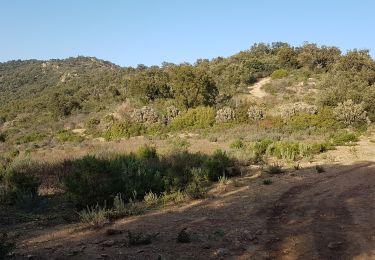
Balade effectuée le 01.03.17. On comprend pourquoi elle a été. dénommée mur. Conseillée pour bon randonneur. Passage du gué sans doute très delicat après des précipitations.