


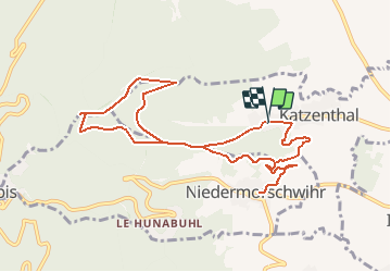
Katzenthal-Galtz-Niedermorschwihr et retour

patrickbeyrath
User

Length
10.6 km

Max alt
716 m

Uphill gradient
521 m
Km-Effort
17.6 km

Min alt
285 m

Downhill gradient
526 m
Boucle
Yes
Creation date :
2018-10-13 05:52:16.96
Updated on :
2018-10-13 05:52:16.974
3h40
Difficulty : Medium

FREE GPS app for hiking
 SityTrail
IGN / Geographical institutes
SityTrail Plus
The world is yours!
About
Trail Walking of 10.6 km to be discovered at Grand Est, Haut-Rhin, Katzenthal. This trail is proposed by patrickbeyrath.
Positioning
Country:
France
Region :
Grand Est
Department/Province :
Haut-Rhin
Municipality :
Katzenthal
Location:
Unknown
Start:(Dec)
Start:(UTM)
371712 ; 5329634 (32U) N.
Comments