


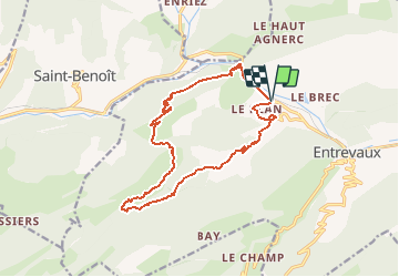

18.8 km | 33 km-effort


User


FREE GPS app for hiking
 SityTrail
IGN / Geographical institutes
SityTrail World
The world is yours!
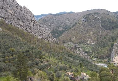
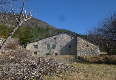
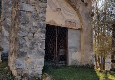
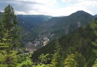
Trail Walking of 16.5 km to be discovered at Provence-Alpes-Côte d'Azur, Alpes-de-Haute-Provence, Entrevaux. This trail is proposed by eaea7charles.
Randonnée à la journ?e au départ du Plan vers la haute rente et retour par le GR4 traversée des préalpes
Walking

Walking
Walking
Walking
Walking
Walking

Walking
Walking
Walking