


les 2 Drumonts

patrickbeyrath
User
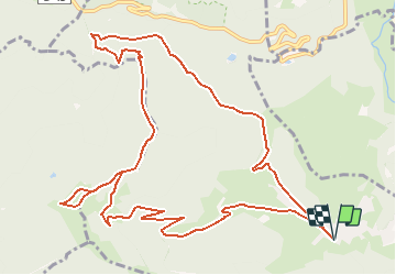

Length
13.9 km

Max alt
1221 m

Uphill gradient
677 m
Km-Effort
23 km

Min alt
630 m

Downhill gradient
677 m
Boucle
Yes
Creation date :
2018-10-13 05:54:06.427
Updated on :
2018-10-13 05:54:06.434
--
Difficulty : Difficult

FREE GPS app for hiking
 SityTrail
IGN / Geographical institutes
SityTrail Plus
The world is yours!
About
Trail Walking of 13.9 km to be discovered at Grand Est, Haut-Rhin, Fellering. This trail is proposed by patrickbeyrath.
Description
Langmatt-Hasenkopf Rond Jaune et ensuite rond bleu jusqu'au Petit Drumont et puis rectangle Bleu vers le Drumont et après Faigne des Minons Triangle Jaune vers Langenbach et Arrivée à Langmatt
Positioning
Country:
France
Region :
Grand Est
Department/Province :
Haut-Rhin
Municipality :
Fellering
Location:
Unknown
Start:(Dec)
Start:(UTM)
347296 ; 5307057 (32T) N.
Comments