


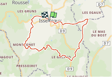

12.3 km | 17.1 km-effort

User GUIDE


FREE GPS app for hiking
 SityTrail
IGN / Geographical institutes
SityTrail World
The world is yours!
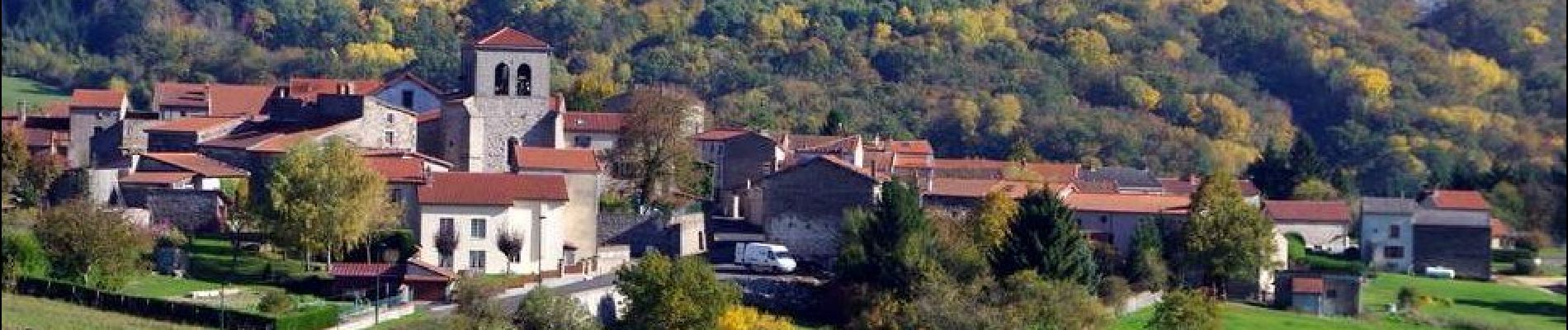
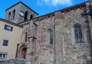
Trail Walking of 9.4 km to be discovered at Auvergne-Rhône-Alpes, Puy-de-Dôme, Isserteaux. This trail is proposed by jagarnier.
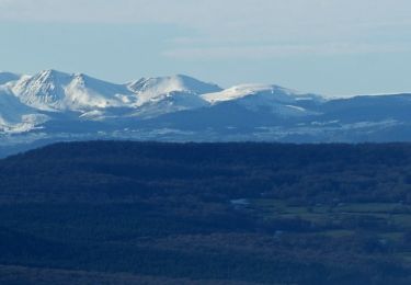
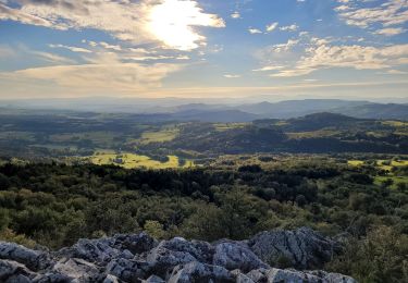
Cette randonnée autour du puy de Courdeloup et son paysage lunaire au sommet, offre de très nombreuses vues sur le puy de Dôme, le massif du Sancy et les monts du Forez. Vous y découvrirez l’habitat rural typique du Livradois-Forez dans les hameaux traversés.

Walking
![Trail On foot Saint-Jean-des-Ollières - [Itinéraire] Le pic de la Garde - Photo](https://media.geolcdn.com/t/375/260/ext.jpg?maxdim=2&url=https%3A%2F%2Fstatic1.geolcdn.com%2Fsiteimages%2Fupload%2Ffiles%2F1545311037marcheuse_200dpi.jpg)
On foot
On foot
On foot
Walking
Walking
On foot
On foot

Walking