


Mont Paon1 La Lèque

kephas
User
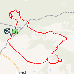

Length
13.4 km

Max alt
209 m

Uphill gradient
359 m
Km-Effort
18.2 km

Min alt
62 m

Downhill gradient
354 m
Boucle
Yes
Creation date :
2017-03-16 00:00:00.0
Updated on :
2017-03-16 00:00:00.0
3h48
Difficulty : Medium

FREE GPS app for hiking
 SityTrail
IGN / Geographical institutes
SityTrail Plus
The world is yours!
About
Trail Walking of 13.4 km to be discovered at Provence-Alpes-Côte d'Azur, Bouches-du-Rhône, Tarascon. This trail is proposed by kephas.
Description
Départ parking sur la piste à l'entrée du vallon de la Lèque
D82C
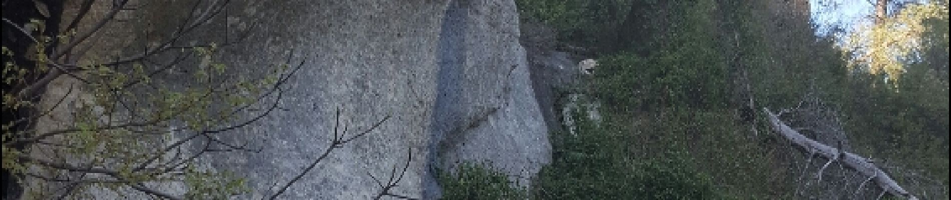
Photos


Positioning
Country:
France
Region :
Provence-Alpes-Côte d'Azur
Department/Province :
Bouches-du-Rhône
Municipality :
Tarascon
Location:
Unknown
Start:(Dec)
Start:(UTM)
639070 ; 4845559 (31T) N.
Comments