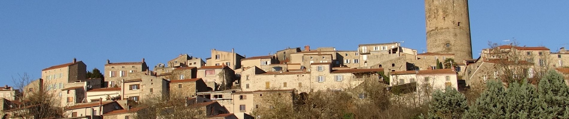
Montpeyroux_Arkose

jagarnier
User GUIDE
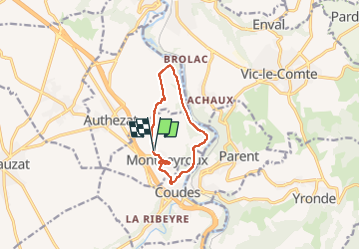

Length
8.6 km

Max alt
483 m

Uphill gradient
193 m
Km-Effort
11.2 km

Min alt
344 m

Downhill gradient
195 m
Boucle
Yes
Creation date :
2017-04-01 00:00:00.0
Updated on :
2022-06-23 16:46:52.385
2h30
Difficulty : Easy

FREE GPS app for hiking
 SityTrail
IGN / Geographical institutes
SityTrail Plus
The world is yours!
About
Trail Walking of 8.6 km to be discovered at Auvergne-Rhône-Alpes, Puy-de-Dôme, Montpeyroux. This trail is proposed by jagarnier.
Description
Entre Montpeyroux et Chadieu, avec son château et son parc, l'Allier fera un bout de chemin à vos cotés
Photos

Positioning
Country:
France
Region :
Auvergne-Rhône-Alpes
Department/Province :
Puy-de-Dôme
Municipality :
Montpeyroux
Location:
Unknown
Start:(Dec)
Start:(UTM)
515623 ; 5052371 (31T) N.
Comments