


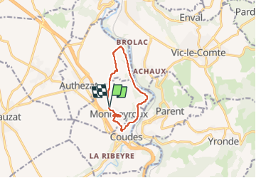


12.5 km | 16.6 km-effort


User GUIDE


FREE GPS app for hiking
 SityTrail
IGN / Geographical institutes
SityTrail World
The world is yours!
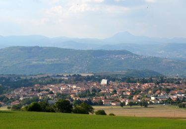
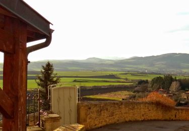
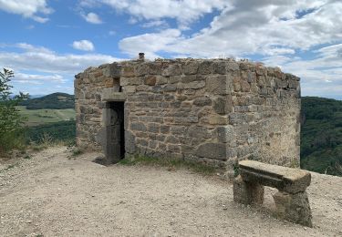
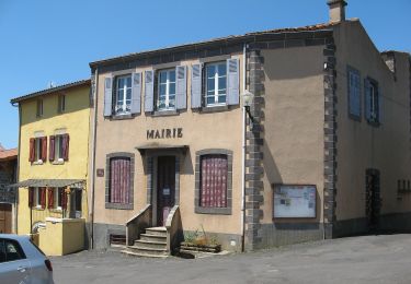
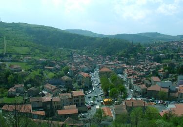
Trail Walking of 8.6 km to be discovered at Auvergne-Rhône-Alpes, Puy-de-Dôme, Montpeyroux. This trail is proposed by jagarnier.
Entre Montpeyroux et Chadieu, avec son château et son parc, l'Allier fera un bout de chemin à vos cotés

Walking

Walking
Walking

Walking

On foot

On foot
On foot
On foot
On foot