


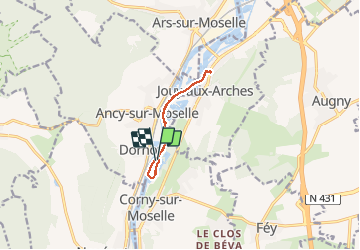


13.2 km | 17.8 km-effort

User


FREE GPS app for hiking
 SityTrail
IGN / Geographical institutes
SityTrail World
The world is yours!
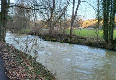
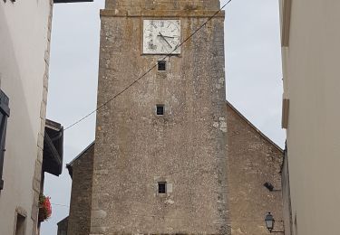
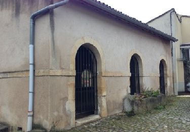
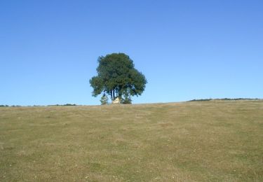
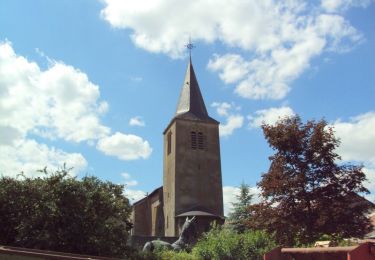
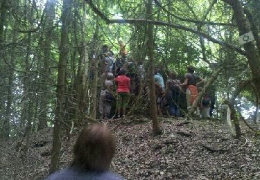
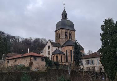
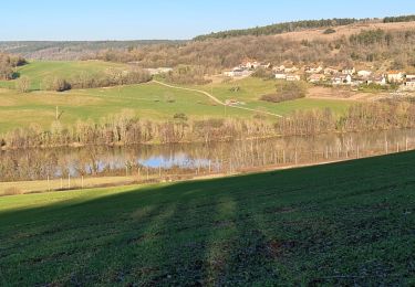
Trail Walking of 7.6 km to be discovered at Grand Est, Moselle, Corny-sur-Moselle. This trail is proposed by pida.


Walking
Walking
Walking
Mountain bike
Cycle
Walking
Walking
Walking