


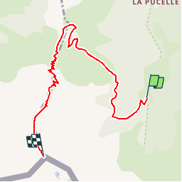

17.8 km | 29 km-effort


User


FREE GPS app for hiking
 SityTrail
IGN / Geographical institutes
SityTrail World
The world is yours!
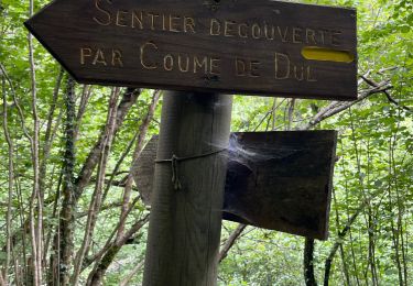
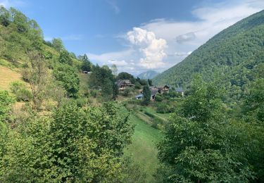
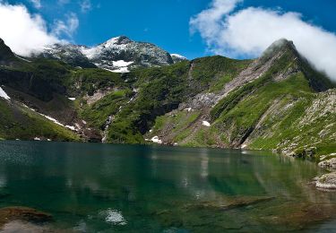
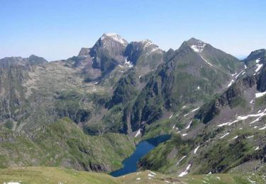
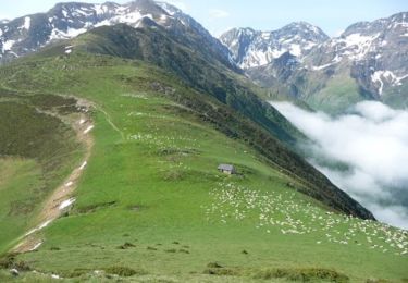
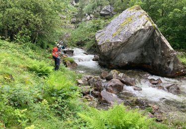
Trail Walking of 7.7 km to be discovered at Occitania, Ariège, Bonac-Irazein. This trail is proposed by patricklecetre.
Walking
Walking
Walking
On foot

Walking

Running
Walking
Walking
Walking
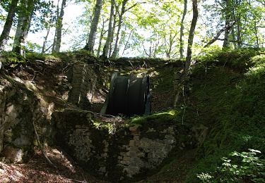
Bon sityguide . Attention à la crête finale très technique