


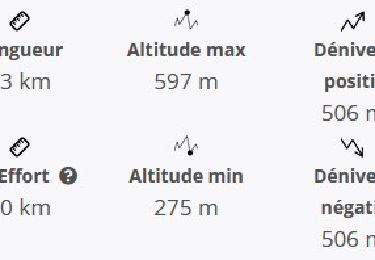
11.8 km | 17.6 km-effort

User


FREE GPS app for hiking
 SityTrail
IGN / Geographical institutes
SityTrail World
The world is yours!
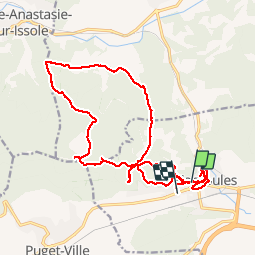
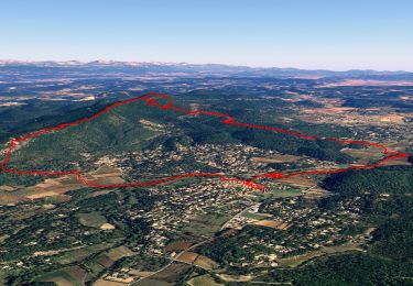
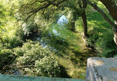
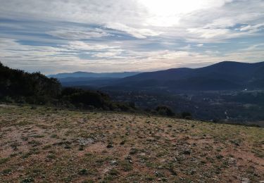
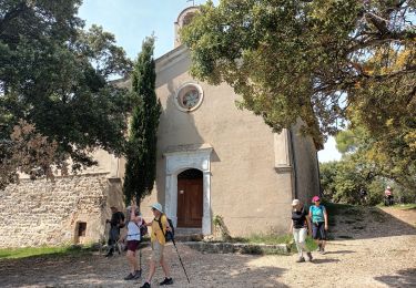
Trail Walking of 23 km to be discovered at Provence-Alpes-Côte d'Azur, Var, Carnoules. This trail is proposed by Sugg.
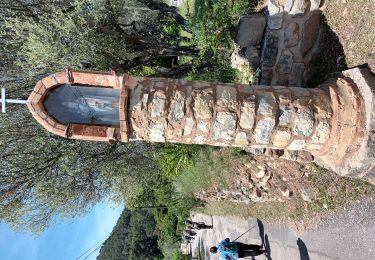
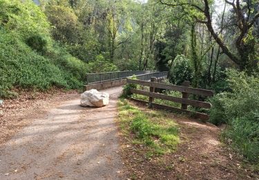
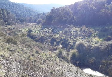
Reco de la rando prévue le 19-04-17.
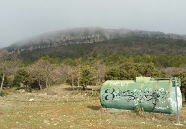
Le projet 1 ne convient pas à cause du parking de départ, celui-ci sera déplacé à la citerne ( 307 ) à l'Ouest du Roucas et le parcours sera modifié.( voir Projet 2 " les Thèmes )


Walking
Walking
Walking
Walking
Walking
On foot
On foot
Walking
Walking