


bonali 3

fpitance
User
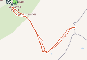

Length
12.7 km

Max alt
2920 m

Uphill gradient
883 m
Km-Effort
24 km

Min alt
2026 m

Downhill gradient
887 m
Boucle
Yes
Creation date :
2017-04-20 00:00:00.0
Updated on :
2017-04-20 00:00:00.0
4h38
Difficulty : Unknown

FREE GPS app for hiking
 SityTrail
IGN / Geographical institutes
SityTrail Plus
The world is yours!
About
Trail Other activity of 12.7 km to be discovered at Aosta Valley, Unknown, Courmayeur. This trail is proposed by fpitance.
Positioning
Country:
Italy
Region :
Aosta Valley
Department/Province :
Unknown
Municipality :
Courmayeur
Location:
Unknown
Start:(Dec)
Start:(UTM)
347303 ; 5078899 (32T) N.
Comments