


TDP N° ST JEAN PIED DE PORT COL de L'IRAU

jeff2
User
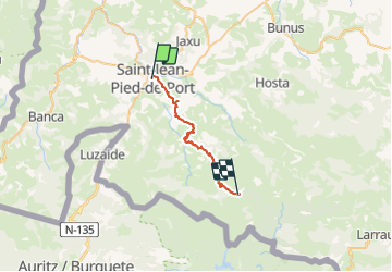

Length
26 km

Max alt
1026 m

Uphill gradient
1535 m
Km-Effort
44 km

Min alt
170 m

Downhill gradient
718 m
Boucle
No
Creation date :
2017-05-09 00:00:00.0
Updated on :
2017-05-09 00:00:00.0
7h37
Difficulty : Unknown

FREE GPS app for hiking
 SityTrail
IGN / Geographical institutes
SityTrail Plus
The world is yours!
About
Trail Other activity of 26 km to be discovered at New Aquitaine, Pyrénées-Atlantiques, Saint-Jean-Pied-de-Port. This trail is proposed by jeff2.
Description
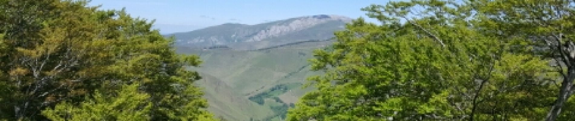
Pas mal de dénivelé aujourd'hui.
ce soir camping sauvage baignoire eau courante
Photos


Positioning
Country:
France
Region :
New Aquitaine
Department/Province :
Pyrénées-Atlantiques
Municipality :
Saint-Jean-Pied-de-Port
Location:
Unknown
Start:(Dec)
Start:(UTM)
643275 ; 4780269 (30T) N.
Comments