


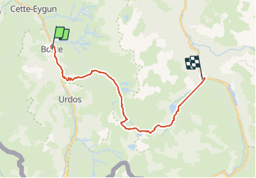


16.9 km | 30 km-effort

User


FREE GPS app for hiking
 SityTrail
IGN / Geographical institutes
SityTrail World
The world is yours!
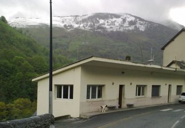
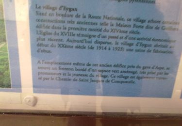
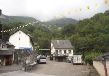
Trail Other activity of 26 km to be discovered at New Aquitaine, Pyrénées-Atlantiques, Borce. This trail is proposed by jeff2.
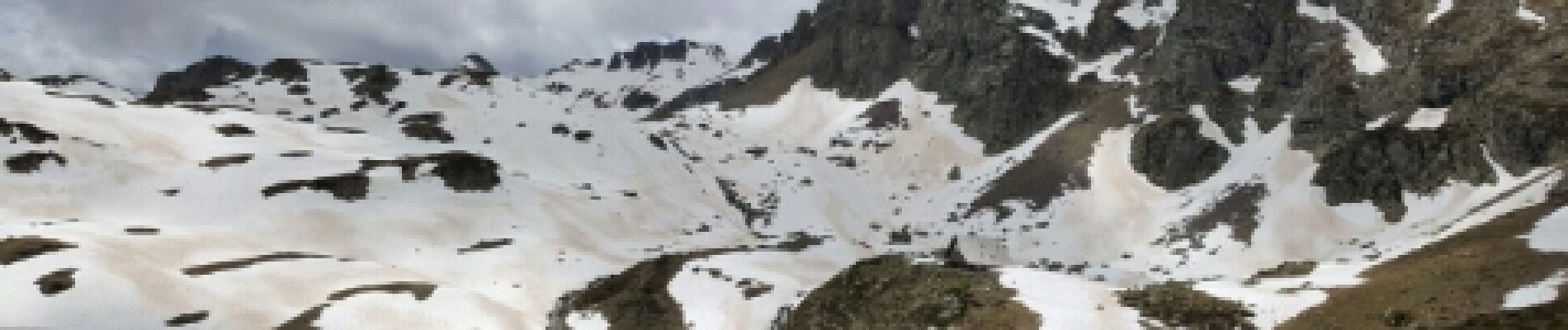
Gros dénivelé


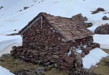
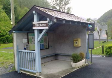
21 photos in total. Please click on a photo to see them all in the gallery.
Snowshoes

Walking

Walking
On foot
On foot
On foot
On foot
On foot
On foot