


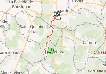

15.8 km | 18.4 km-effort


User


FREE GPS app for hiking
 SityTrail
IGN / Geographical institutes
SityTrail World
The world is yours!
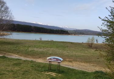
Trail Canoe - kayak of 6.6 km to be discovered at Occitania, Ariège, Belloc. This trail is proposed by jopost.
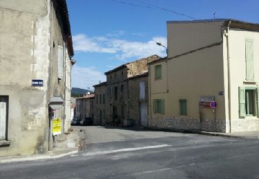
sortie de Pays Pyrénées Cathares art et Histoire sur le Touyre le 21 mai 2017, départ de Léran jusqu'à l'Hers


Walking

Mountain bike

On foot
Mountain bike
Equestrian
Equestrian
Walking
Walking
