


venetië dag 10

karawatsj
User


Length
92 km

Max alt
428 m

Uphill gradient
770 m
Km-Effort
102 km

Min alt
192 m

Downhill gradient
560 m
Boucle
No
Creation date :
2017-06-07 00:00:00.0
Updated on :
2017-06-07 00:00:00.0
7h48
Difficulty : Medium

FREE GPS app for hiking
 SityTrail
IGN / Geographical institutes
SityTrail Plus
The world is yours!
About
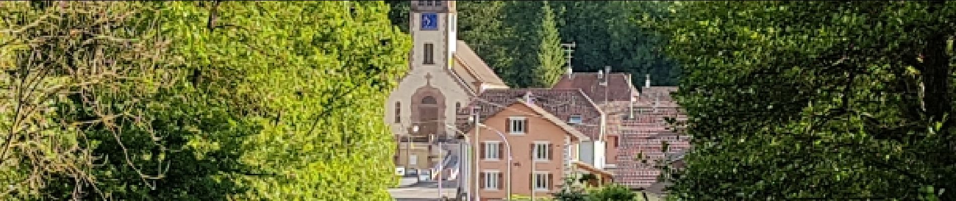
Trail Cycle of 92 km to be discovered at Grand Est, Haut-Rhin, Wintzenheim. This trail is proposed by karawatsj.
Description
Van Colmar naar de Mooslargue aan de Jura
Photos


Positioning
Country:
France
Region :
Grand Est
Department/Province :
Haut-Rhin
Municipality :
Wintzenheim
Location:
Unknown
Start:(Dec)
Start:(UTM)
374414 ; 5327024 (32U) N.
Comments