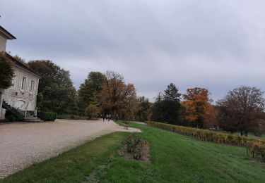
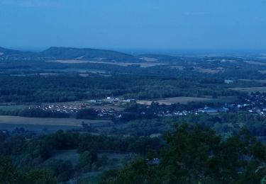
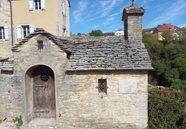
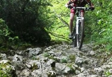
Trail Walking Plainoiseau - Plainoiseau D+ 644 24.1km 20170531 - Photo

Plainoiseau D+ 644 24.1km 20170531

 cmike39
cmike39

User

© OpenStreetMap contributors
Length
Length
24 km
Max alt
Max alt
390 m
Uphill gradient
Uphill gradient
668 m
Km-Effort
Km-Effort  
33 km
Min alt
Min alt
244 m
Downhill gradient
Downhill gradient
666 m
Boucle
Boucle
No
Creation date :
2017-10-05 00:00:00.0
Updated on :
2017-10-05 00:00:00.0

(0 Reviews)

Walking
Walking
6h56
Difficulty : Unknown

Scan this QR Code to open this trail in the SityTrail application

FREE GPS app for hiking

Logo SityTrail SityTrail

IGN / Geographical institutes

Download SityTrail from the App Store Download SityTrail from Google Play

Logo SityTrail SityTrail World

The world is yours!

Download SityTrail from the App Store Download SityTrail from Google Play Download SityTrail on Huawei AppGallery

About

Trail Walking of 24 km to be discovered at Bourgogne-Franche-Comté, Jura, Plainoiseau. This trail is proposed by cmike39.

Elevation profile

Points of interest

Point of interest L'Étoile - Point 1 - Photo
cmike39
L'ÉTOILE 

Positioning

Country:
France
Region :
Bourgogne-Franche-Comté
Department/Province :
Jura
Municipality :
Plainoiseau
Location:
Unknown
Start:(UTM)
695201 ; 5178423 (31T) N.

Trails nearby

Trail Mountain bike Voiteur - Centre VTT FFC Premier Plateau, entre Lacs et Vignobles - La Seille - Circuit n°4 - Photo
Mountain bike
tracegps

Mountain bike

Easy
(2)
Voiteur, Bourgogne-Franche-Comté, Jura, France
9.1 km | 10.4 km-effort
45min
Yes
Trail Walking Domblans - 2019-10-02_17h23m41_Projet Domblans - Photo
Walking
cmike39

Walking

Very difficult
(1)
Domblans, Bourgogne-Franche-Comté, Jura, France
16.9 km | 24 km-effort
5h 2min
Yes
Trail Walking Domblans - Domblans Randonnée - Photo
Walking
daniellebou

Walking

Very difficult
(1)
Domblans, Bourgogne-Franche-Comté, Jura, France
17.2 km | 23 km-effort
5h 16min
Yes
Trail Walking Plainoiseau - etoile jura - Photo
Walking
phileasy

Walking

Medium
Plainoiseau, Bourgogne-Franche-Comté, Jura, France
17.4 km | 24 km-effort
5h 38min
Yes
Trail Walking Menétru-le-Vignoble - Ménétru Blois sur Seilles Château Chalon 15 sept 2020CAF - Photo
Walking
TRIMAILLE

Walking

Difficult
Menétru-le-Vignoble, Bourgogne-Franche-Comté, Jura, France
23 km | 35 km-effort
5h 31min
Yes
Trail Walking Voiteur - Voiteur Château chalon page 152 - Photo
Walking
grasgilbert

Walking

Difficult
(1)
Voiteur, Bourgogne-Franche-Comté, Jura, France
16.3 km | 22 km-effort
5h 37min
Yes
Trail Mountain bike Voiteur - Centre VTT FFC Premier Plateau, entre Lacs et Vignobles - Ravaillac - Circuit n°7 - Photo
Mountain bike
tracegps

Mountain bike

Difficult
Voiteur, Bourgogne-Franche-Comté, Jura, France
14.2 km | 20 km-effort
1h 30min
Yes
Trail Mountain bike Voiteur - Raid VTT Jura 2009 - Photo
Mountain bike
tracegps

Mountain bike

Very difficult
Voiteur, Bourgogne-Franche-Comté, Jura, France
47 km | 66 km-effort
3h 30min
No
Trail Walking Pannessières - Bois de Rosnay Taïga - Photo
Walking
GUIDE
David25400

Walking

Very easy
Pannessières, Bourgogne-Franche-Comté, Jura, France
4 km | 4.9 km-effort
53min
Yes


Close
My subscriptions