


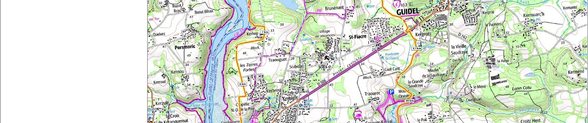
7.6 km | 8.5 km-effort

User


FREE GPS app for hiking
 SityTrail
IGN / Geographical institutes
SityTrail World
The world is yours!
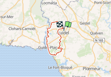
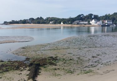
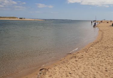
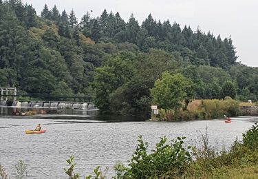
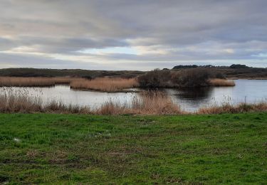
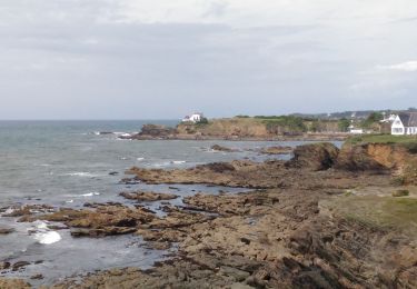
Trail Walking of 20 km to be discovered at Brittany, Morbihan, Guidel. This trail is proposed by patrickdanilo.
Type: Circuit-56-Morbihan
Départ:Etang Du Loch

Walking
Walking

Walking
Walking
Electric bike
Walking
Walking

Walking