


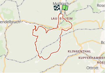

14.9 km | 21 km-effort


User GUIDE


FREE GPS app for hiking
 SityTrail
IGN / Geographical institutes
SityTrail World
The world is yours!
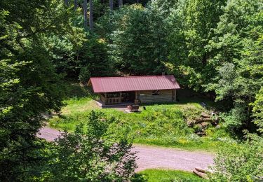
Trail Equestrian of 16.5 km to be discovered at Grand Est, Bas-Rhin, Mollkirch. This trail is proposed by holtzv.
Walking

Walking

Walking

Walking

Mountain bike
Mountain bike

Mountain bike
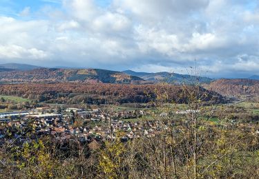
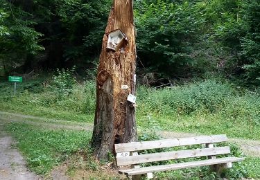
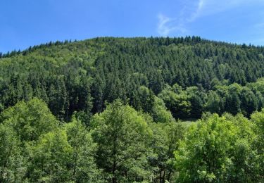
Horseback riding
Horseback riding