


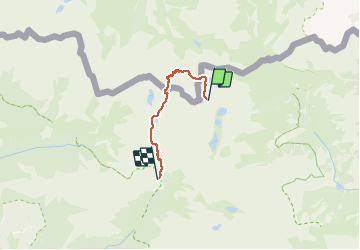


13 km | 29 km-effort


User


FREE GPS app for hiking
 SityTrail
IGN / Geographical institutes
SityTrail World
The world is yours!
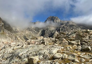
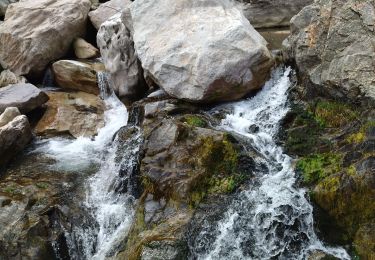
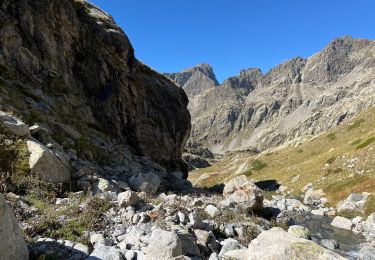
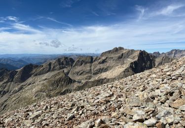
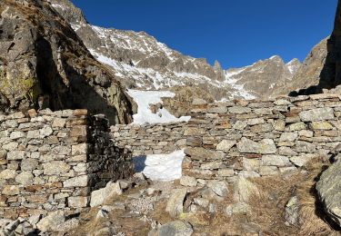
Trail Walking of 14.4 km to be discovered at Provence-Alpes-Côte d'Azur, Maritime Alps, Tende. This trail is proposed by rubentha.
lac gelé, ref de Pagari, pas de Pagari, pont du Countet
On foot

Walking
Walking
Walking
Walking
Walking
Walking
Walking
Snowshoes