


12.8 km | 26 km-effort

User


FREE GPS app for hiking
 SityTrail
IGN / Geographical institutes
SityTrail World
The world is yours!
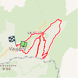
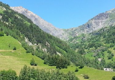
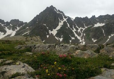
Trail Walking of 11.3 km to be discovered at Auvergne-Rhône-Alpes, Isère, Vaujany. This trail is proposed by Axelloceane.
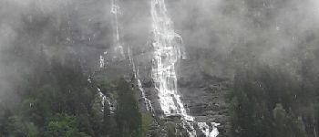
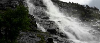
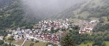
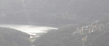
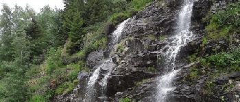
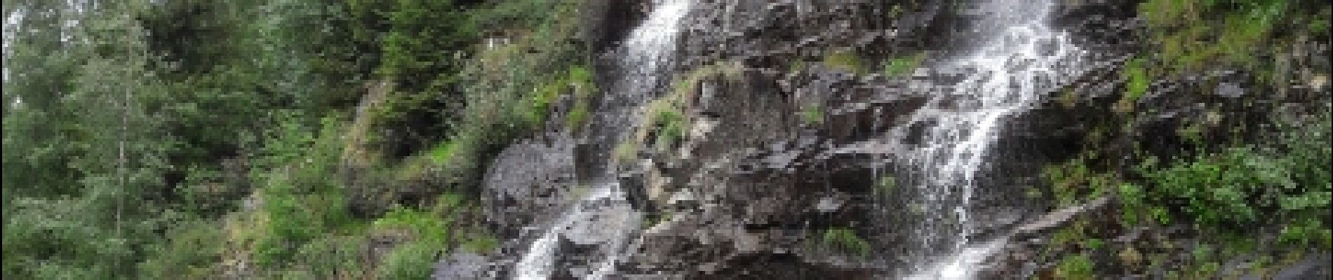
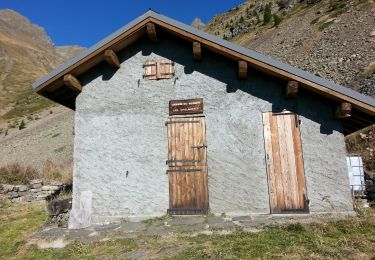
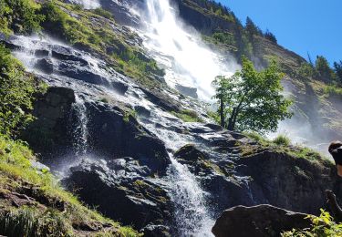
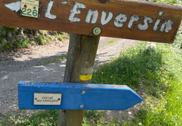
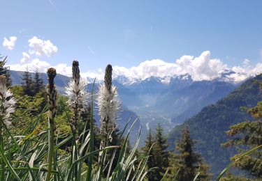
Départ du pôle sportif de Vaujany,descendre vers le ruisseau le Flumet et après le pont tourner à gauche vers la télécabine de la Vilette Mont Frais.suivre le sentier en direction du départ de la via feratta,au bout du sentier vous avez une superbe vue sur la cascade de la Fare.Retour sur nos pas et ensuite prendre le sentier pour aller voir la fin du parcours de la via feratta.redescendre en passant par Mont Frais et suivre la piste de ski rejoignant la Vilette (pente très raide).De la Vilette retour à Vaujany.


Walking
Walking
Walking
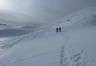
Snowshoes
Walking
Walking
Touring skiing
Snowshoes
Walking