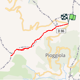
Trail Walking Pioggiola - monte tolu - Photo
 tegea
tegea

User

© OpenStreetMap contributors
Length
Length
7 km
Max alt
Max alt
1274 m
Uphill gradient
Uphill gradient
287 m
Km-Effort
Km-Effort  
10.9 km
Min alt
Min alt
1095 m
Downhill gradient
Downhill gradient
293 m
Boucle
Boucle
Yes
Creation date :
04/08/2017 00:00
Updated on :
04/08/2017 00:00

(1 Reviews)

Walking
Walking
3h26
Difficulty : Medium

Scan this QR Code to open this trail in the SityTrail application

FREE GPS app for hiking

Logo SityTrail SityTrail

IGN / Geographical institutes

Download SityTrail from the App Store Download SityTrail from Google Play

Logo SityTrail SityTrail Plus

The world is yours!

Download SityTrail from the App Store Download SityTrail from Google Play Download SityTrail on Huawei AppGallery

About

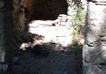
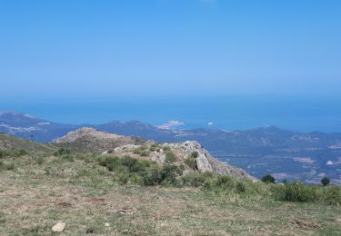
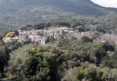
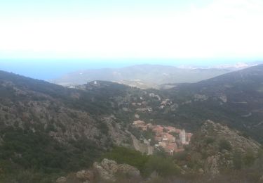
Trail Walking of 7 km to be discovered at Corsica, Haute-Corse, Pioggiola. This trail is proposed by tegea.

Description

aller et retour depuis bocca du Bataglia

Elevation profile

Positioning

Country:
France
Region :
Corsica
Department/Province :
Haute-Corse
Municipality :
Pioggiola
Location:
Unknown
Start:(UTM)
500398 ; 4710801 (32T) N.

Comments

Please log in to post a review or rate the element


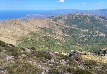
Belle balade faisable en famille, mais attention, les coins ombragés sont très rares sur le trajet. Et nous n'avons pas trouvé le chemin menant au sommet rocheux sur les 100 derniers mètres.


Close
My subscriptions