


Mauzac (la Grange)

pidjam
User


Length
11.1 km

Max alt
286 m

Uphill gradient
219 m
Km-Effort
14.1 km

Min alt
179 m

Downhill gradient
219 m
Boucle
Yes
Creation date :
2017-08-14 00:00:00.0
Updated on :
2017-08-14 00:00:00.0
3h07
Difficulty : Easy

FREE GPS app for hiking
 SityTrail
IGN / Geographical institutes
SityTrail Plus
The world is yours!
About
Trail Walking of 11.1 km to be discovered at Occitania, Haute-Garonne, Mauzac. This trail is proposed by pidjam.
Description
circuit autour de Mauzac (reconnu en aout 2017).
Attention à la descente finale (très pentue et potentiellement glissante bien que ce soit un GR)
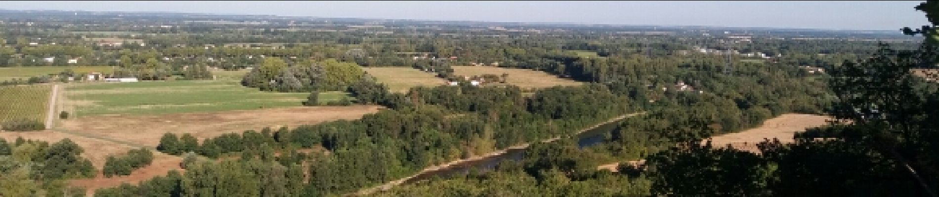
Photos
 - Photo 1")
Positioning
Country:
France
Region :
Occitania
Department/Province :
Haute-Garonne
Municipality :
Mauzac
Location:
Unknown
Start:(Dec)
Start:(UTM)
361573 ; 4803984 (31T) N.
Comments