


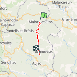

11.9 km | 20 km-effort


User


FREE GPS app for hiking
 SityTrail
IGN / Geographical institutes
SityTrail World
The world is yours!
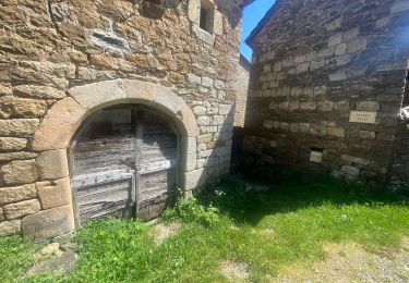
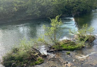
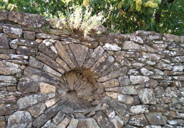
Trail Walking of 7.9 km to be discovered at Occitania, Gard, Malons-et-Elze. This trail is proposed by dussaux.
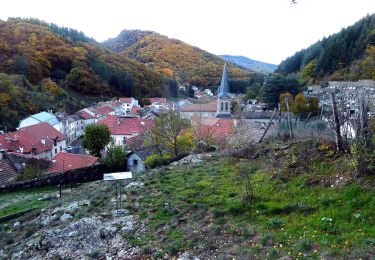
Facile sauf à la fin
Walking
Walking
Walking
Walking

On foot


sport
Walking

Walking
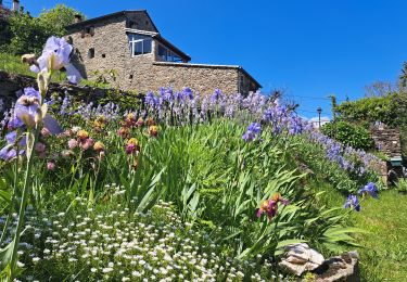
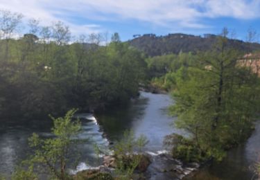
Super balade