


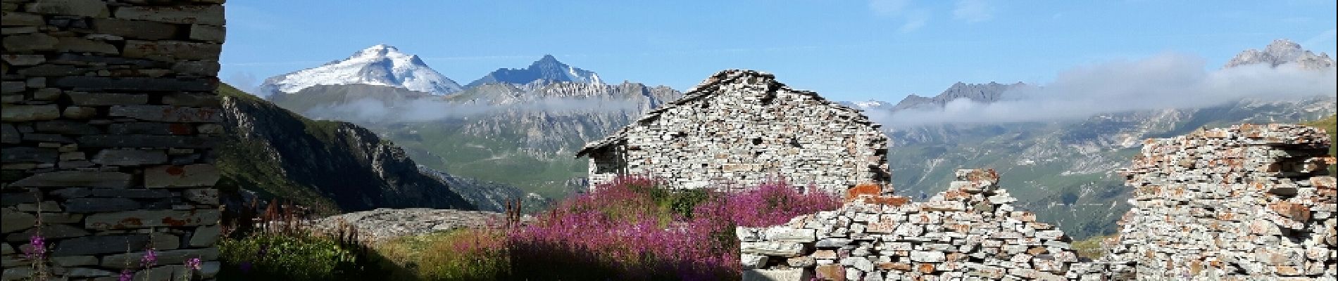
la pointe de Picheru

amiral13
User GUIDE
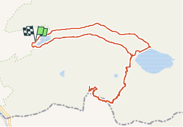


5h36
Difficulty : Medium

FREE GPS app for hiking
 SityTrail
IGN / Geographical institutes
SityTrail Plus
The world is yours!
About
Trail Walking of 13.8 km to be discovered at Auvergne-Rhône-Alpes, Savoy, Tignes. This trail is proposed by amiral13.
Description
cette randonnée a été réalisée jusqu'au passage de Picheru avec un enfant de 9 ans, le temps de parcours peut être donc être réduit.
par contre, à partir du passage de Picheru il s'agit de hors sentier sur des pentes herbeuses qui peuvent se révéler dangereuses.
Photos


Positioning
Comments
Très belle randonnée réalisée en famille en 2018.