


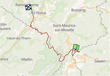


10.5 km | 17.7 km-effort

User


FREE GPS app for hiking
 SityTrail
IGN / Geographical institutes
SityTrail World
The world is yours!
Trail Walking of 24 km to be discovered at Bourgogne-Franche-Comté, Territoire-de-Belfort, Lepuix. This trail is proposed by margotte.
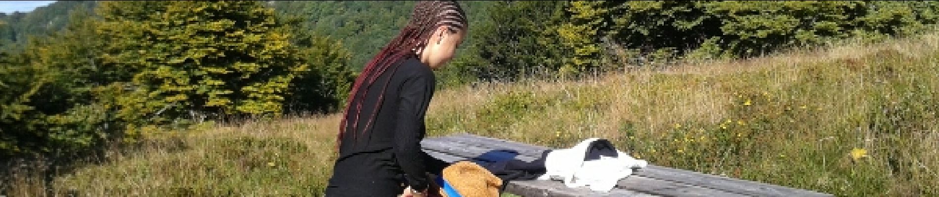
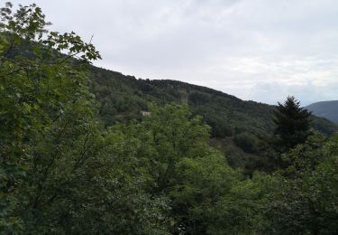
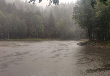
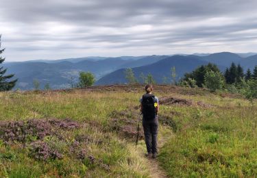
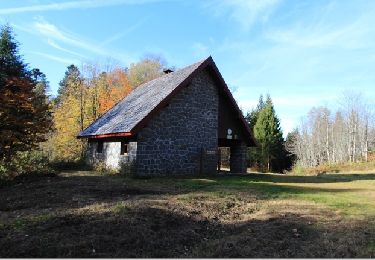
belle rando estivale descendante ...normalement.. mais 561 m de dénivelé positif...avec l'étagement de végétation depuis la chaume du Ballon d'Alsace en traversant la hêtraie d'altitude, la forêt de l’étage montagnard, la réserve des ballons comtois avec pause casse croûte au chalet Sailley fraichement (bravos les bénévoles et les donateurs) quelques étangs privés et divers friches et autres exploitations agricole.


Walking

Walking
Walking

Walking

Walking

Mountain bike
Walking
Walking
Walking