Trail Walking Bonneval-sur-Arc - 
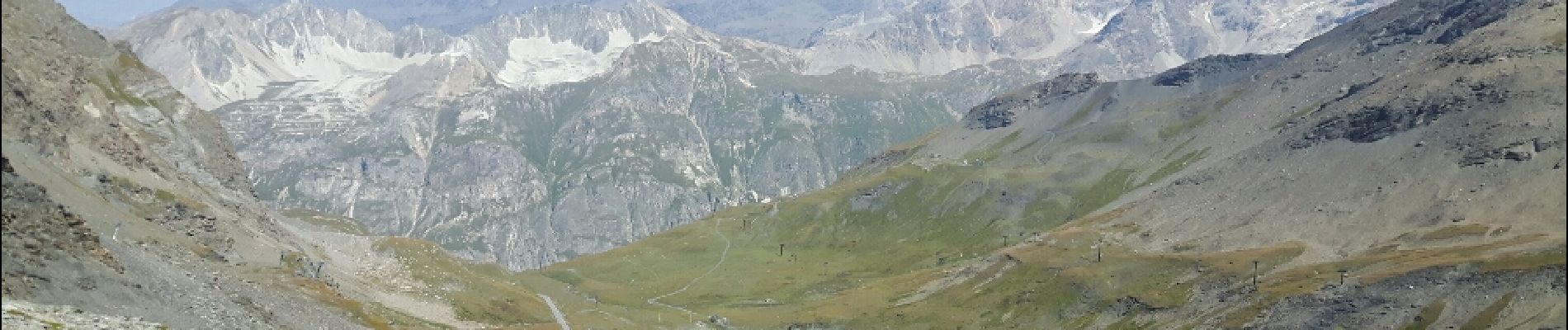
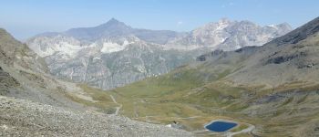
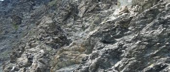
la pointe des Lessières - Photo
 amiral13
amiral13

User GUIDE

© OpenStreetMap contributors
Length
Length
2.4 km
Max alt
Max alt
3006 m
Uphill gradient
Uphill gradient
237 m
Km-Effort
Km-Effort  
5.5 km
Min alt
Min alt
2755 m
Downhill gradient
Downhill gradient
238 m
Boucle
Boucle
Yes
Creation date :
2018-04-16 21:39:50.481
Updated on :
2018-04-16 21:39:50.481

(0 Reviews)

Walking
Walking
1h46
Difficulty : Medium

Scan this QR Code to open this trail in the SityTrail application

FREE GPS app for hiking

Logo SityTrail SityTrail

IGN / Geographical institutes

Download SityTrail from the App Store Download SityTrail from Google Play

Logo SityTrail SityTrail Plus

The world is yours!

Download SityTrail from the App Store Download SityTrail from Google Play Download SityTrail on Huawei AppGallery

About

Trail Walking of 2.4 km to be discovered at Auvergne-Rhône-Alpes, Savoy, Bonneval-sur-Arc. This trail is proposed by amiral13.

Description

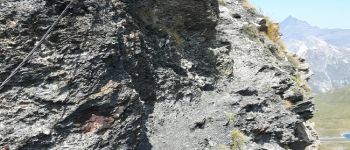
attention l'itinéraire de montée (nord) est en grande partie hors sentier.
Il est préférable d'utiliser le sentier sud pour un aller-retour.
cette randonnée a été réalisée avec un enfant de 9 ans, le temps de parcours peut être donc être réduit.

Elevation profile

Photos

Points of interest

Point of interest Bonneval-sur-Arc - la grande Sassière et la Tsanteleina - Photo
amiral13
Point of interest Bonneval-sur-Arc - passage équipé d'un câble - Photo
amiral13
Point of interest Bonneval-sur-Arc - la fac sud - Photo
amiral13
BONNEVAL-SUR-ARC 

Positioning

Country:
France
Region :
Auvergne-Rhône-Alpes
Department/Province :
Savoy
Municipality :
Bonneval-sur-Arc
Location:
Unknown
Start:(UTM)
345948 ; 5031198 (32T) N.


Close
My subscriptions