


Marche du 23 août 17

Bertrand68
User

Length
16.9 km

Max alt
1054 m

Uphill gradient
543 m
Km-Effort
24 km

Min alt
681 m

Downhill gradient
541 m
Boucle
Yes
Creation date :
2018-04-16 21:40:47.296
Updated on :
2018-04-16 21:40:47.296
5h37
Difficulty : Easy

FREE GPS app for hiking
 SityTrail
IGN / Geographical institutes
SityTrail Plus
The world is yours!
About
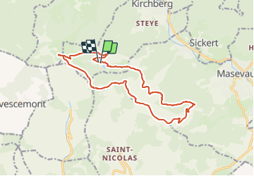
Trail Walking of 16.9 km to be discovered at Grand Est, Haut-Rhin, Kirchberg. This trail is proposed by Bertrand68.
Description
Lachtelweiher - FA Bruckenwald - le sudel - refuge du neuberg - Baerenkopf et retour col du Lochberg
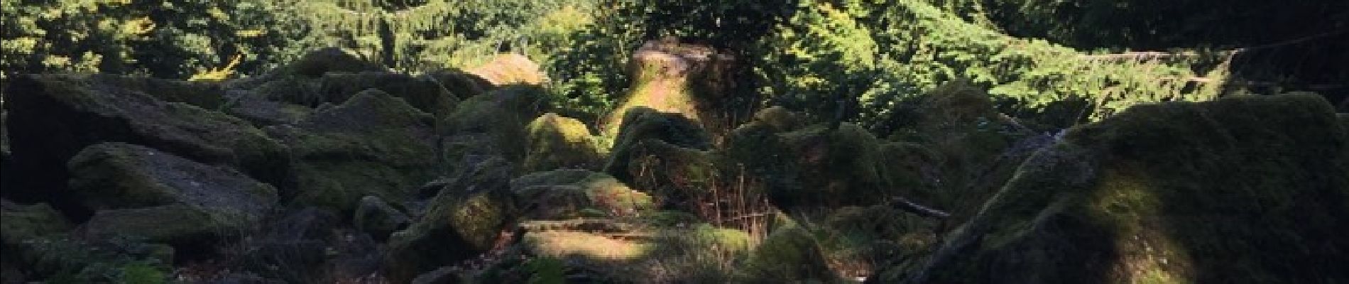
Photos

Positioning
Country:
France
Region :
Grand Est
Department/Province :
Haut-Rhin
Municipality :
Kirchberg
Location:
Unknown
Start:(Dec)
Start:(UTM)
344828 ; 5293751 (32T) N.
Comments