


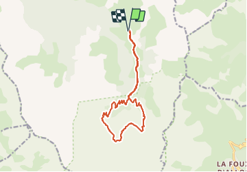

11.2 km | 28 km-effort

User


FREE GPS app for hiking
 SityTrail
IGN / Geographical institutes
SityTrail World
The world is yours!
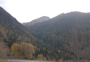
Trail Walking of 15.5 km to be discovered at Provence-Alpes-Côte d'Azur, Alpes-de-Haute-Provence, Méolans-Revel. This trail is proposed by gildascb.
Accès par D900 au niveau du Martinet, prendre direction de l'Abbaye de Laverq.
Se garer au parking du Plan Bas environ 1 km après l'Abbaye. Piste accessible à tout type de véhicule (sauf en cas d'orage, en raison d'un passage de gué, dans ce cas, se garer sur la parking à côté de l'Abbaye).
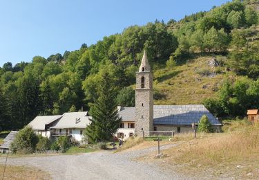
Lors de notre passage, l'église de Laverq était ouverte. Elle a été rénovée récemment et mérite une petite visite.
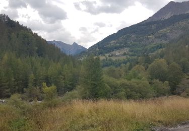
Sur la partie basse de la balade, des champs entiers de framboisiers. Pour les gourmands, favoriser la période de la première quinzaine d'Août !


Walking
Walking
Touring skiing
Walking
Walking
Touring skiing
Walking
Snowshoes
Walking
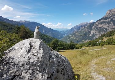
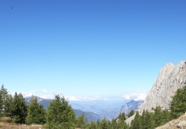
balade très sympa. la pente à la montée et la descente est tout à fait correcte. belle vue sur les montagnes alentours... et les framboisiers!!!!