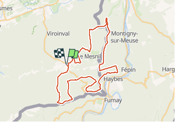

6.4 km | 9.1 km-effort


User


FREE GPS app for hiking
 SityTrail
IGN / Geographical institutes
SityTrail World
The world is yours!
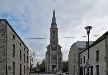
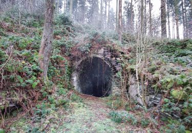
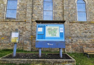
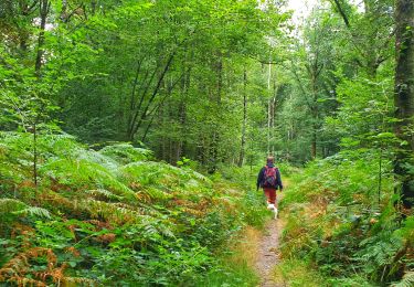
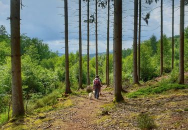
Trail Mountain bike of 36 km to be discovered at Wallonia, Namur, Viroinval. This trail is proposed by Forain.
Au départ de l'église, parking possible. Super rando 95 pour-cent de bois. Tout pour un bon Vététiste, avec de belles montées, une super longue descente. A faire par temps sec, hors période de chasse bien entendu (renseignez-vous). Supers beaux paysages à découvrir. Petits bistrots à proximité
Walking

Walking
Walking
Walking
Walking
On foot
On foot