


Rome-38-Gap-Montgardin-20170907

patrickdanilo
User
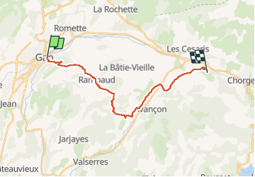

Length
21 km

Max alt
1142 m

Uphill gradient
781 m
Km-Effort
31 km

Min alt
724 m

Downhill gradient
591 m
Boucle
No
Creation date :
2018-02-16 00:00:00.0
Updated on :
2022-11-18 18:03:05.393
6h32
Difficulty : Difficult

FREE GPS app for hiking
 SityTrail
IGN / Geographical institutes
SityTrail Plus
The world is yours!
About
Trail Walking of 21 km to be discovered at Provence-Alpes-Côte d'Azur, Hautes-Alpes, Gap. This trail is proposed by patrickdanilo.
Description
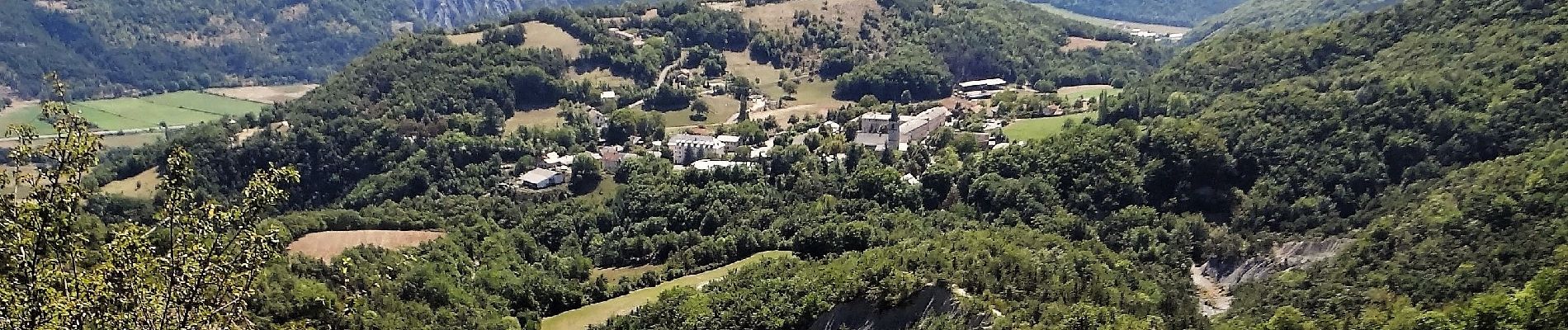
ALTA-18-N°0404F38-GR653D
Photos


Positioning
Country:
France
Region :
Provence-Alpes-Côte d'Azur
Department/Province :
Hautes-Alpes
Municipality :
Gap
Location:
Gap
Start:(Dec)
Start:(UTM)
268461 ; 4938193 (32T) N.
Comments