


Xixa- Sentier muletier

francisdean
User
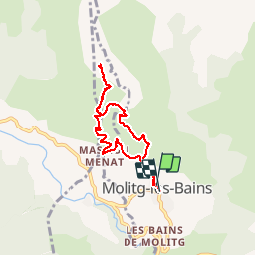

Length
6.9 km

Max alt
898 m

Uphill gradient
294 m
Km-Effort
10.9 km

Min alt
607 m

Downhill gradient
296 m
Boucle
Yes
Creation date :
2017-09-09 00:00:00.0
Updated on :
2017-09-09 00:00:00.0
2h23
Difficulty : Easy

FREE GPS app for hiking
 SityTrail
IGN / Geographical institutes
SityTrail Plus
The world is yours!
About
Trail Walking of 6.9 km to be discovered at Occitania, Pyrénées-Orientales, Molitg-les-Bains. This trail is proposed by francisdean.
Description
Facile
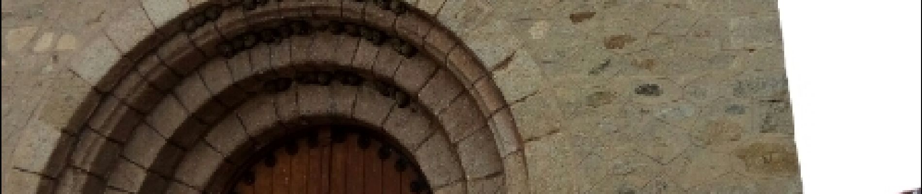
Photos


Positioning
Country:
France
Region :
Occitania
Department/Province :
Pyrénées-Orientales
Municipality :
Molitg-les-Bains
Location:
Unknown
Start:(Dec)
Start:(UTM)
449835 ; 4722435 (31T) N.
Comments