


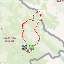


20 km | 45 km-effort

User


FREE GPS app for hiking
 SityTrail
IGN / Geographical institutes
SityTrail World
The world is yours!
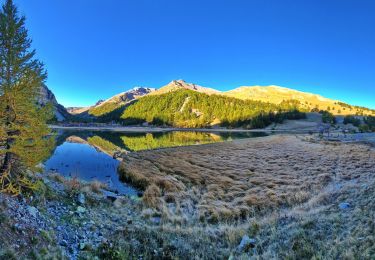
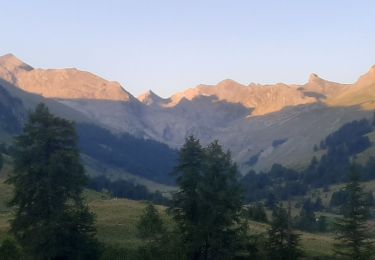
Trail Walking of 13.3 km to be discovered at Provence-Alpes-Côte d'Azur, Alpes-de-Haute-Provence, Val-d'Oronaye. This trail is proposed by Gouze13.
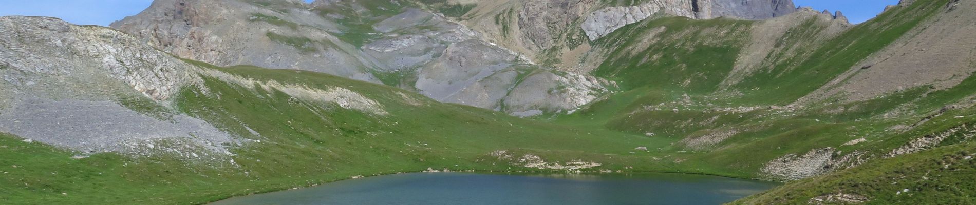
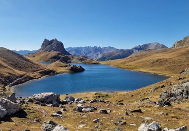
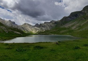
Descente directe sur le lac assez raide. On peut revenir sur ses pas vers le sud pour chercher un passage plus aisé.

Walking

Walking
Walking
Walking
Walking
Walking
Walking

Walking
Walking