


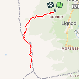

11.1 km | 24 km-effort


User


FREE GPS app for hiking
 SityTrail
IGN / Geographical institutes
SityTrail World
The world is yours!
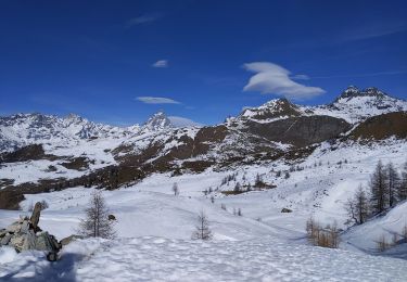
Trail Walking of 8.2 km to be discovered at Aosta Valley, Unknown, Ayas. This trail is proposed by chris13370.
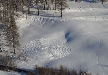
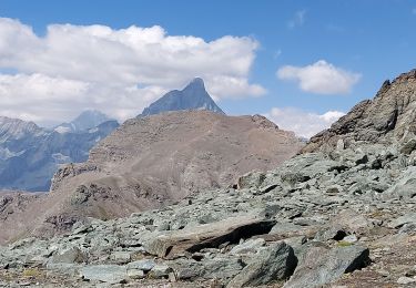
vue superbe sur tous les sommets
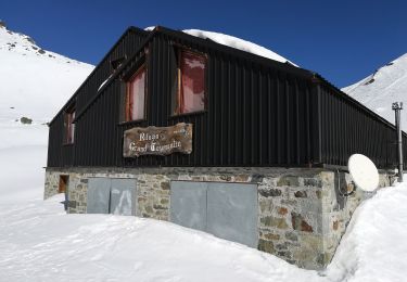
On foot

On foot
On foot
On foot
Walking

On foot
On foot

On foot