


Celles-sur-Belle 2

olaze
User
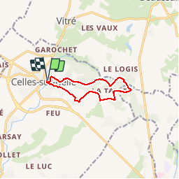

Length
9.1 km

Max alt
165 m

Uphill gradient
154 m
Km-Effort
11.1 km

Min alt
98 m

Downhill gradient
153 m
Boucle
Yes
Creation date :
2017-09-20 00:00:00.0
Updated on :
2017-09-20 00:00:00.0
2h32
Difficulty : Medium

FREE GPS app for hiking
 SityTrail
IGN / Geographical institutes
SityTrail Plus
The world is yours!
About
Trail Walking of 9.1 km to be discovered at New Aquitaine, Deux-Sèvres, Celles-sur-Belle. This trail is proposed by olaze.
Description
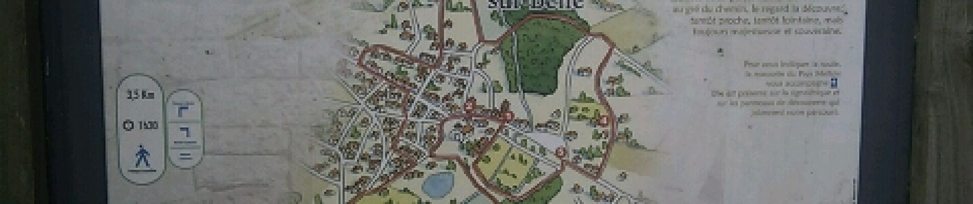
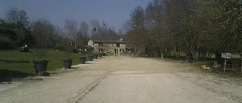
Départ et retour de Celles-sur-Belle.A travers bois et campagne.Bien valloné.
Club rando Bessines.
Photos


Positioning
Country:
France
Region :
New Aquitaine
Department/Province :
Deux-Sèvres
Municipality :
Celles-sur-Belle
Location:
Celles-sur-Belle
Start:(Dec)
Start:(UTM)
715139 ; 5126993 (30T) N.
Comments