


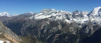
Le petit Mont-Blanc depuis Courchevel Moriond

redfire73
User
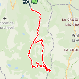

Length
20 km

Max alt
2668 m

Uphill gradient
1047 m
Km-Effort
34 km

Min alt
1738 m

Downhill gradient
1049 m
Boucle
Yes
Creation date :
2018-04-16 23:16:38.355
Updated on :
2020-01-22 17:08:44.367
7h06
Difficulty : Medium

FREE GPS app for hiking
 SityTrail
IGN / Geographical institutes
SityTrail Plus
The world is yours!
About
Trail Walking of 20 km to be discovered at Auvergne-Rhône-Alpes, Savoy, Courchevel. This trail is proposed by redfire73.
Description
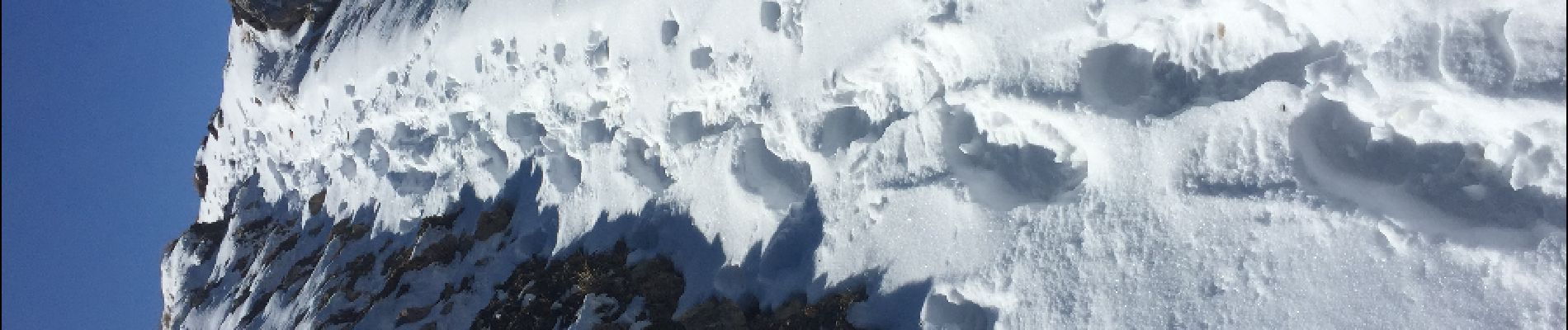
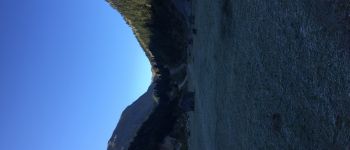
Départ des Belvèdères, en passant pas la vallée des avals, ensuite monter pas le lac blanc jusqu'au sommet.
Descente pas le col des saulces et la combe des roches et finir par les avals.
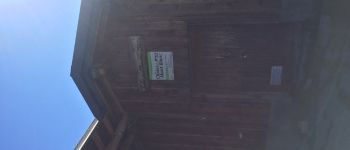
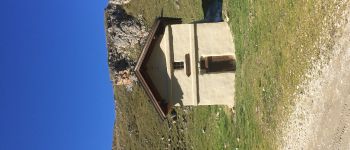
Photos


Positioning
Country:
France
Region :
Auvergne-Rhône-Alpes
Department/Province :
Savoy
Municipality :
Courchevel
Location:
Saint-Bon-Tarentaise
Start:(Dec)
Start:(UTM)
317172 ; 5030642 (32T) N.
Comments