


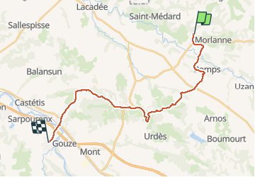
Compostelle 29 - Casteide -> Maslacq

uru2010
User

Length
25 km

Max alt
231 m

Uphill gradient
296 m
Km-Effort
29 km

Min alt
72 m

Downhill gradient
322 m
Boucle
No
Creation date :
2018-04-16 23:50:45.232
Updated on :
2018-04-16 23:50:45.232
6h12
Difficulty : Medium

FREE GPS app for hiking
 SityTrail
IGN / Geographical institutes
SityTrail Plus
The world is yours!
About
Trail Walking of 25 km to be discovered at New Aquitaine, Pyrénées-Atlantiques, Casteide-Candau. This trail is proposed by uru2010.
Description
Chemin de Compostelle
Casteide -> Maslacq
Positioning
Country:
France
Region :
New Aquitaine
Department/Province :
Pyrénées-Atlantiques
Municipality :
Casteide-Candau
Location:
Unknown
Start:(Dec)
Start:(UTM)
697759 ; 4821083 (30T) N.
Comments