


Col de Chetive-Aiguille de Roche Noire.

Dervalmarc
User
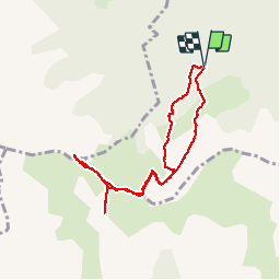

Length
8.1 km

Max alt
2058 m

Uphill gradient
771 m
Km-Effort
18.4 km

Min alt
1375 m

Downhill gradient
764 m
Boucle
Yes
Creation date :
2018-04-17 10:06:46.764
Updated on :
2018-04-17 10:06:46.764
4h25
Difficulty : Medium

FREE GPS app for hiking
 SityTrail
IGN / Geographical institutes
SityTrail Plus
The world is yours!
About
Trail Walking of 8.1 km to be discovered at Provence-Alpes-Côte d'Azur, Hautes-Alpes, Poligny. This trail is proposed by Dervalmarc.
Description
Montée tres raide à partir du col de Chetive jusqu'à la Cime.
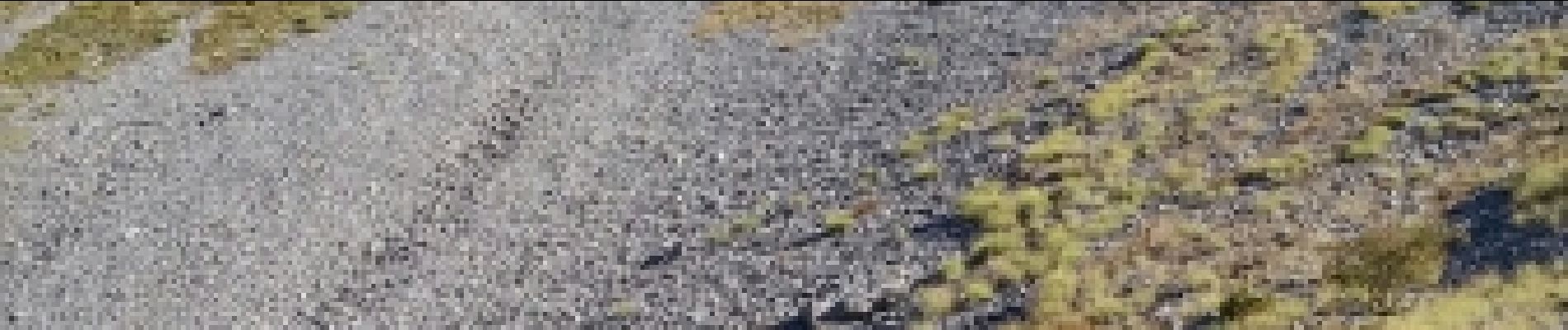
Photos


Positioning
Country:
France
Region :
Provence-Alpes-Côte d'Azur
Department/Province :
Hautes-Alpes
Municipality :
Poligny
Location:
Unknown
Start:(Dec)
Start:(UTM)
263932 ; 4951092 (32T) N.
Comments