


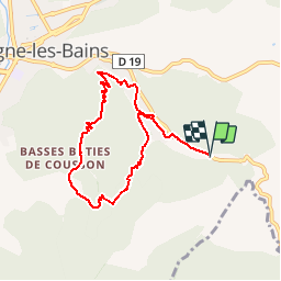

15.4 km | 29 km-effort


User


FREE GPS app for hiking
 SityTrail
IGN / Geographical institutes
SityTrail World
The world is yours!
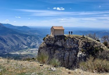
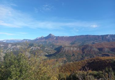
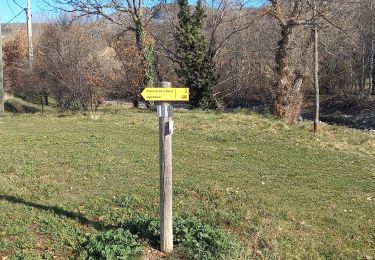
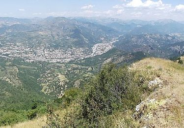
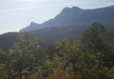
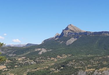
Trail Walking of 8 km to be discovered at Provence-Alpes-Côte d'Azur, Alpes-de-Haute-Provence, Digne-les-Bains. This trail is proposed by lviallet.
Camping les Eaux Chaudes
Ouvert du 1.4 au 31.10
Forfait vidange: 5€
Walking

Walking

Walking

Mountain bike
Walking
Walking
On foot
Walking
Walking