


2017-10-24 paulilles - cap bear 2.gpx

georgein
User
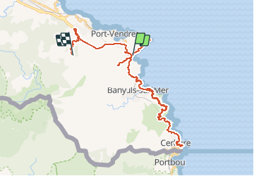

Length
47 km

Max alt
341 m

Uphill gradient
1373 m
Km-Effort
64 km

Min alt
0 m

Downhill gradient
1040 m
Boucle
No
Creation date :
2019-08-04 09:21:00.143
Updated on :
2020-01-31 20:30:48.431
--
Difficulty : Unknown

FREE GPS app for hiking
 SityTrail
IGN / Geographical institutes
SityTrail Plus
The world is yours!
About
Trail Walking of 47 km to be discovered at Occitania, Pyrénées-Orientales, Port-Vendres. This trail is proposed by georgein.
Positioning
Country:
France
Region :
Occitania
Department/Province :
Pyrénées-Orientales
Municipality :
Port-Vendres
Location:
Unknown
Start:(Dec)
Start:(UTM)
510059 ; 4705844 (31T) N.
Comments