


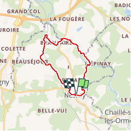

10.3 km | 12.3 km-effort

User


FREE GPS app for hiking
 SityTrail
IGN / Geographical institutes
SityTrail World
The world is yours!
Trail Walking of 10.9 km to be discovered at Pays de la Loire, Vendée, Nesmy. This trail is proposed by cath310.
"Sentier de l'Aulne" NESMY
D/R Parking foyer - école au centre de Nesmy, proche mairie église
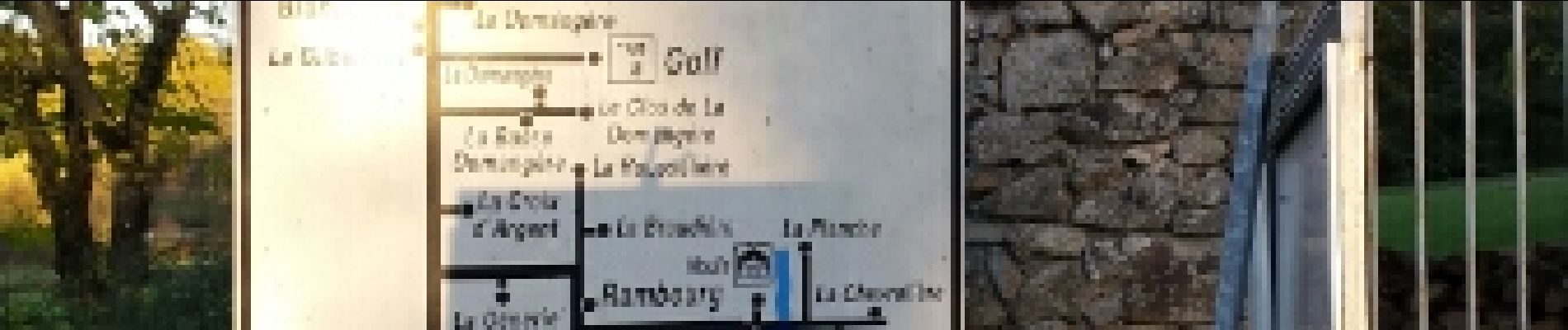
Le moulin de Rambourg, le golf de la Domangère, le château des Brancardières, Brancaire


Walking

Walking
Walking
Walking

On foot
On foot

On foot

Cycle
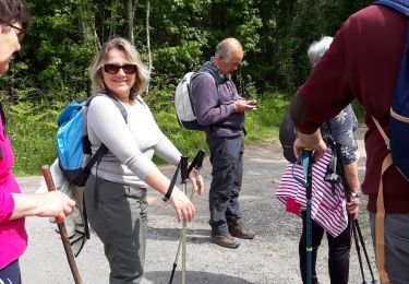
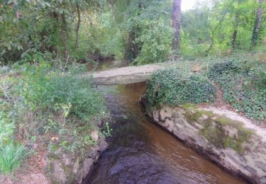
une belle petite randonnée