


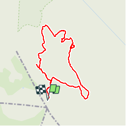

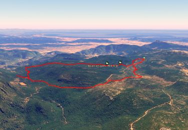
12.6 km | 16.7 km-effort

User


FREE GPS app for hiking
 SityTrail
IGN / Geographical institutes
SityTrail World
The world is yours!
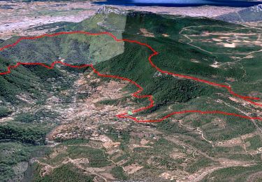
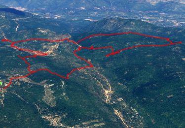
Trail Walking of 9.4 km to be discovered at Provence-Alpes-Côte d'Azur, Var, Solliès-Toucas. This trail is proposed by martinemarie.


Walking
Walking
Walking
Walking
Walking

Walking

Walking
Walking

Running
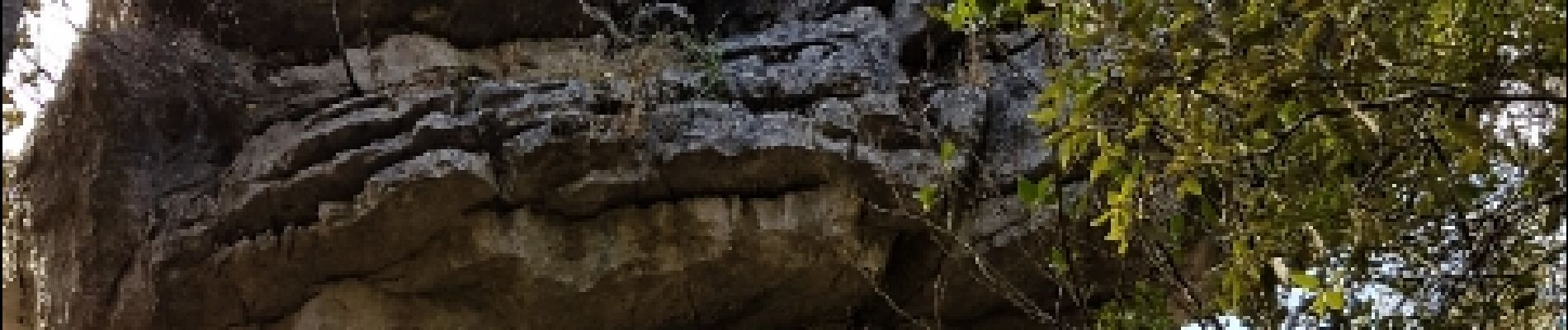
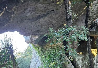
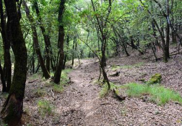
parfois un peu difficile de trouver le chemin