


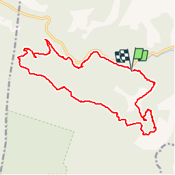


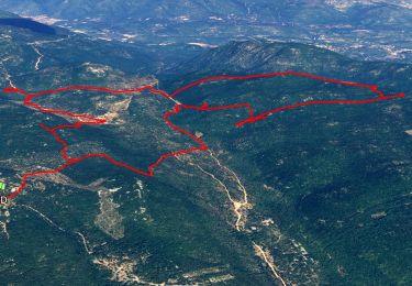
17.2 km | 26 km-effort


User


FREE GPS app for hiking
 SityTrail
IGN / Geographical institutes
SityTrail World
The world is yours!
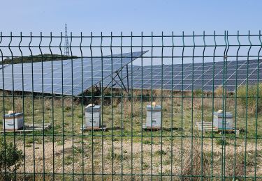
Trail Walking of 11.9 km to be discovered at Provence-Alpes-Côte d'Azur, Var, Méounes-lès-Montrieux. This trail is proposed by martinemarie.
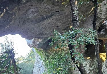
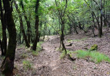
Belle rando dans la Verdure, des photos magnifiques.

Walking
Walking
Walking

Walking

Walking

Walking

Running

Other activity
Walking