


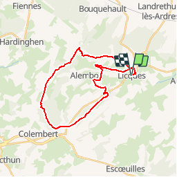

19.2 km | 22 km-effort


User


FREE GPS app for hiking
 SityTrail
IGN / Geographical institutes
SityTrail World
The world is yours!
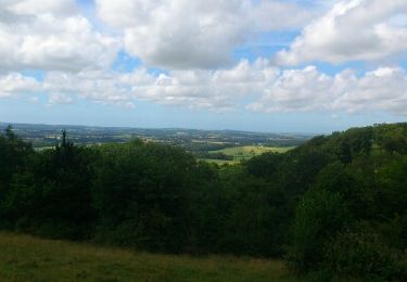
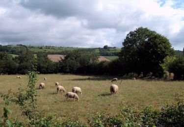
Trail Walking of 25 km to be discovered at Hauts-de-France, Pas-de-Calais, Licques. This trail is proposed by eaea7charles.
25 km au départ de Licques par les GR, puis le GRP du tour du Boulonnais, pour rejoindre le ventus d'Alembon et de rentrer par le bois de Hames

Mountain bike

Walking
Walking
Walking
Walking
Running

Walking
Mountain bike

Walking