


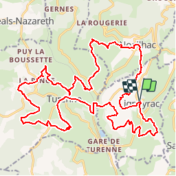

17.7 km | 23 km-effort


User


FREE GPS app for hiking
 SityTrail
IGN / Geographical institutes
SityTrail World
The world is yours!
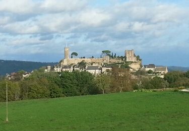
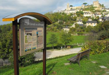
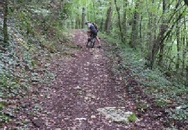
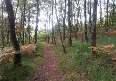
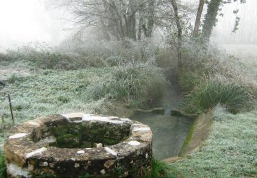
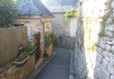
Trail Mountain bike of 30 km to be discovered at New Aquitaine, Corrèze, Ligneyrac. This trail is proposed by fesseneric.
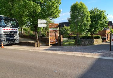
Édite et fléché par la communauté de commune, trois boucles que vous suivez selon votre choix.Des renseignements divers jalonnent ces parcours.
Walking
Mountain bike
Mountain bike
Walking
Mountain bike

Mountain bike
Mountain bike
Walking
Walking