


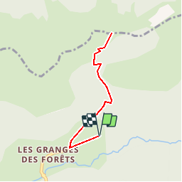


8.1 km | 18.7 km-effort

Les Hautes Alpes à découvrir ! GUIDE+


FREE GPS app for hiking
 SityTrail
IGN / Geographical institutes
SityTrail World
The world is yours!
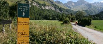
Trail Walking of 3.7 km to be discovered at Auvergne-Rhône-Alpes, Drôme, Lus-la-Croix-Haute. This trail is proposed by Camping Les Rives du Lac.
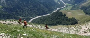
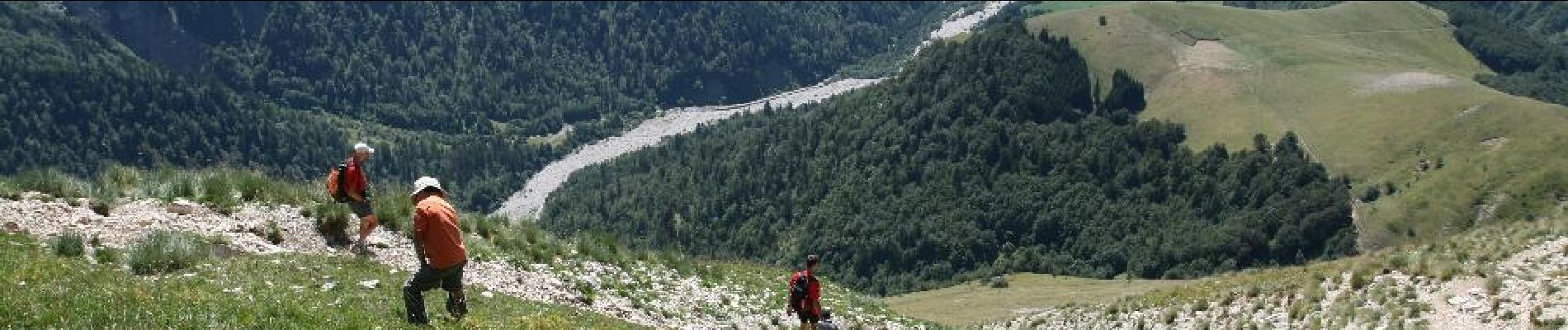
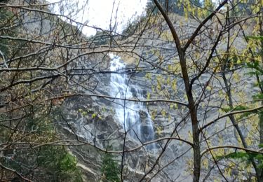
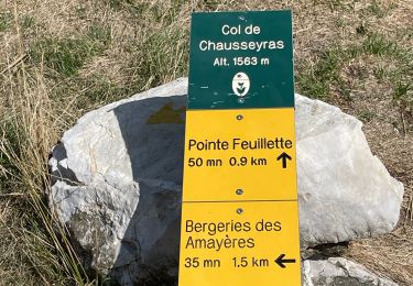
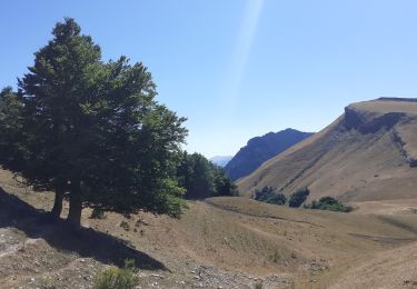
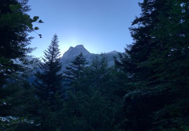
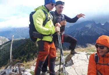
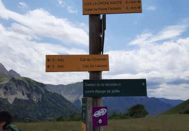
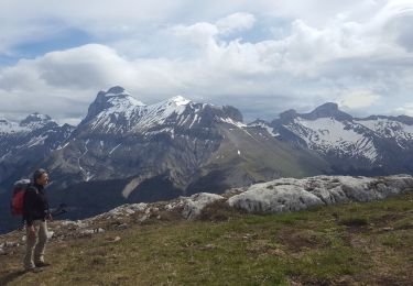
A short hike, family, without difficulty, to associate with some descents of Roll'Herbe! The view of the North (Trièves massif) from the Col de la Croix is clear, the wild valley of the Jarjatte magnificent. Look up, frequent presence of vultures! From the pass, you can continue towards the mountain of Straw, following the GR93 (west direction).


Walking

Walking
Walking
Walking
Walking
Walking
Walking
Walking
Walking